Explore the powerful connection between wine tasting and aging. Learn how presence, patience, and a little ritual can turn every bottle into a story worth savoring—and discover how to train your palate for wine along the way.
The swirled liquid boasts vanilla raspberry, plummy cassis, and a slight cooling floral undertone of cocoa. On the pallet, hot spice presents itself like cinnamon candy. The elegant tannins sting mid-way in this medium bodied wine. Swallowing leads to a long finish...
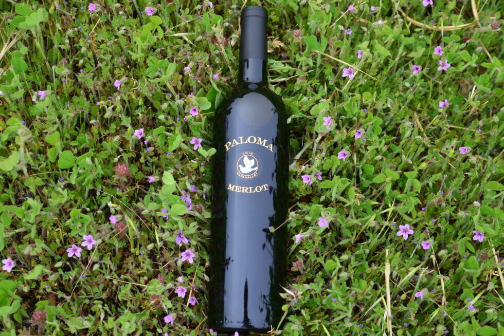
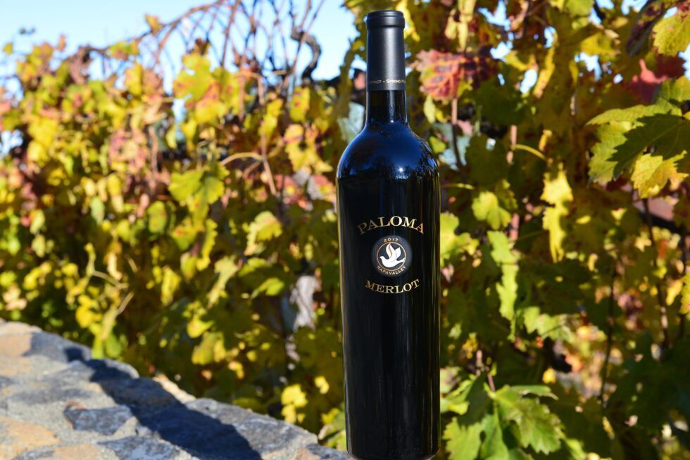
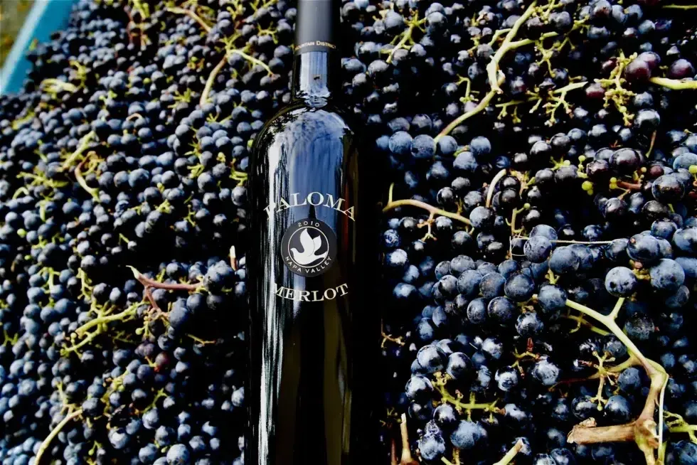
Paloma's 2019 Merlot opens with cranberry and rich cassis followed up with a slight dry mocha aromatic. This wine unfolds like a flower as you taste. It lands in the mouth with small strings of tannin and carries itself on a cool floral body. Its weight is just...
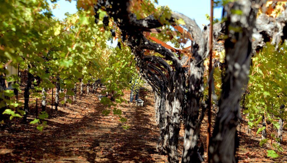
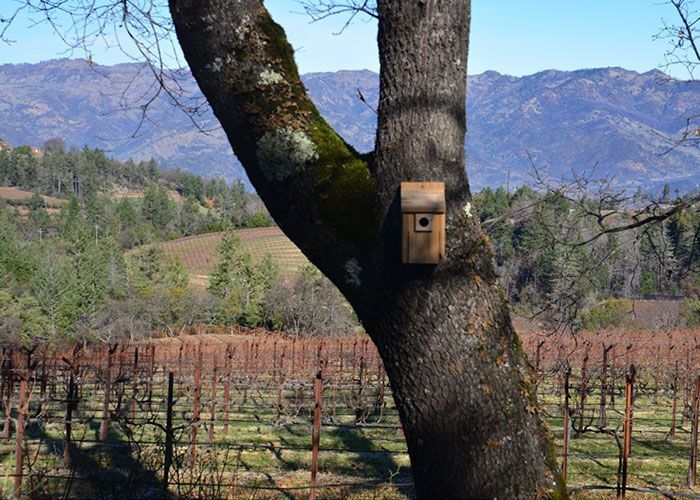
At Paloma Vineyard, sustainability is more than just a practice—it’s the foundation of everything we do. Nestled on Napa Valley’s Spring Mountain, our small, family-run vineyard has been embracing sustainable and regenerative farming for over four decades. Every choice we make, from cover cropping to solar power, reflects our deep respect for the land and our commitment to producing exceptional wines that honor both our family legacy and the environment.
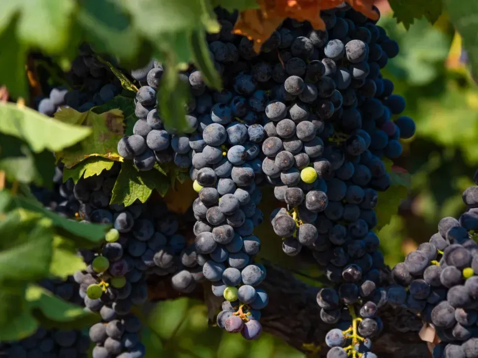
Merlot has captivated wine enthusiasts for over two centuries with its smooth texture, rich flavors, and remarkable versatility. As one of the most widely planted grape varietals in the world, Merlot holds a prominent place on dinner tables and in wine cellars from Bordeaux to Napa Valley. But what makes Merlot so special? The answer lies in the grape’s adaptability, the care that goes into its cultivation, and the sense of place reflected in every bottle.
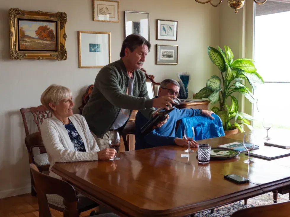
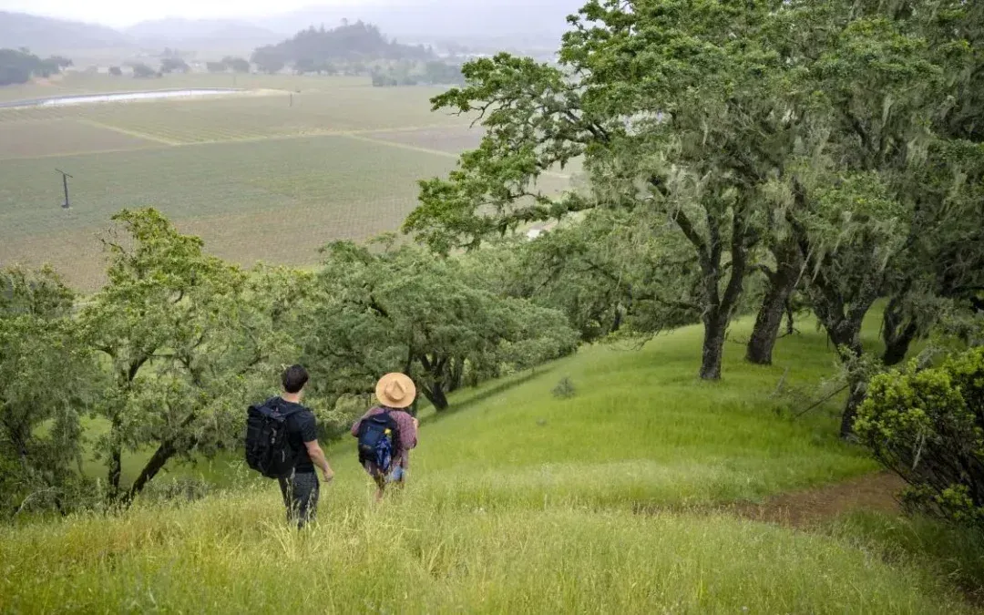
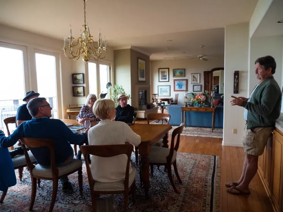
Have you ever been to a tasting where all you hear is the sound of the birds, wind, and the winemaker talking? No?! Then you haven’t visited Paloma Vineyard. Our personal team of furry greeters will meet you at your car and escort you up our steps to the owner’s home,...
As Barbara, our matriarch, always said, “it starts in the vineyard.” Sustainability has become an essential practice for businesses looking to lead the way in their industry. While adapting to new practices can be challenging, it offers a unique lens to reexamine the...
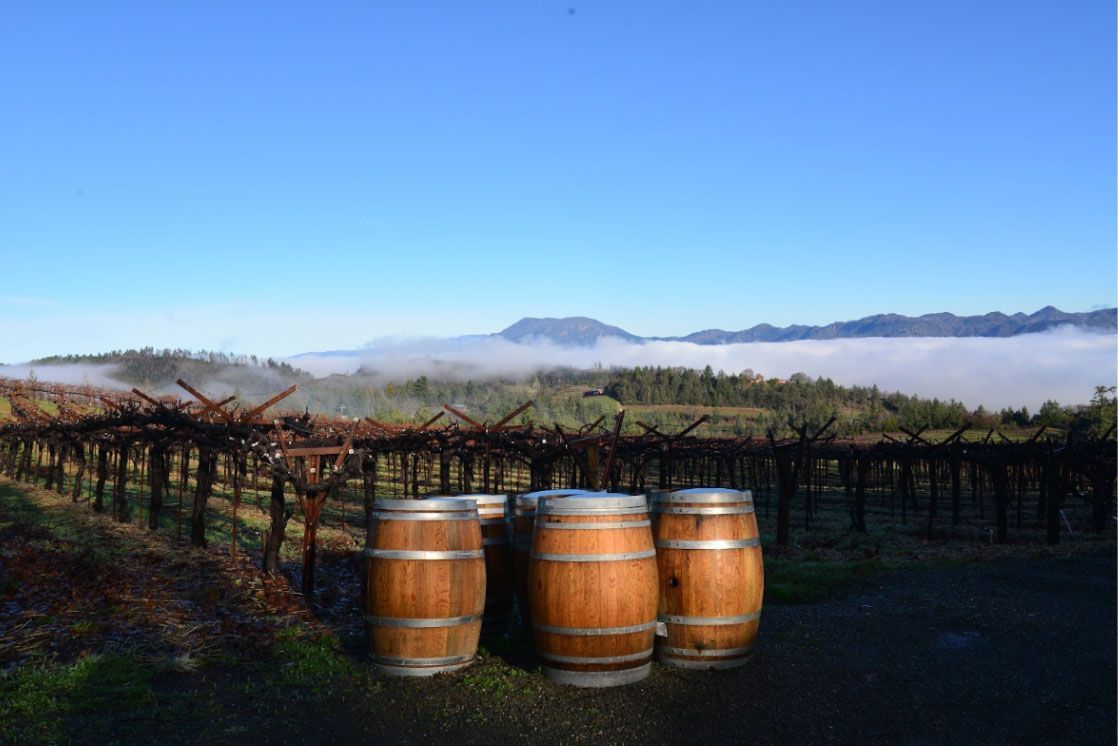
Since Barbara and Jim purchased the 17 acres of land at the top of Spring Mountain in 1983, our goal has never shifted–creating a winery that feels like home. By 1992, that dream was fully realized when Barbara and Jim finished construction of their home inside the...
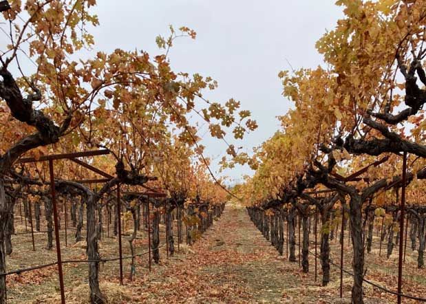
At our sustainable winery and vineyard , every choice we make reflects our commitment to preserving the environment and crafting exceptional wines. From innovative trellising systems to thoughtful vineyard management, we strive to balance nature’s needs with our vision for creating wines that tell a story in every sip.
As a family-run winery on Napa’s Spring Mountain, we’ve spent over 40 years embracing methods that respect both the land and future generations. Sustainable wine and our winemaking is a year-round commitment, and for us, every decision, from vineyard management to bottling, is an opportunity to honor this responsibility.